Wetumpka Impact Crater
Many people who visit Wetumpka recognize its beauty from the towering hills overlooking the Coosa River. What many don’t realize is the hills not only indicate the end of the Appalachian foothills, but some are actually the outline of “Alabama’s greatest natural disaster!”
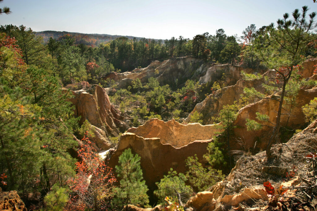
Roughly 85 millions years ago, when most of the area was covered by the edge of an ocean, marine reptiles inhabited the water and dinosaurs lived on land nearby, a crater was created by a meteor blasting deep into bedrock under a shallow sea. The hills east of downtown are the eroded remains of the rim of the Wetumpka Impact Crater, almost five miles wide!
This phenomenon, one of only 200 world-recognized craters, has been the subject of research and discovery dating as far back as 1891. Today, we understand much more about the crater, thanks to scientists and the partnerships of the Wetumpka Impact Crater Commission.
Because many of the best views of the crater are on private property, the Wetumpka Impact Crater Commission hosts an annual tour in the late spring and has also created a self-guided tour of “Educational Viewpoints” in public locations. Locations do not necessarily need to be in order, although beginning at the phenomenon’s official historic marker located at the Elmore County Health Department is a great start. This can be found at 6501 US Highway 231 in Wetumpka.
Educational Viewpoint brochures can also be found at the City of Wetumpka, Wetumpka Area Chamber of Commerce and Main Street Wetumpka’s Tourist Trap.
Details and Directions
Learn more about the Wetumpka Impact Crater visit the Alabama Tourism Site